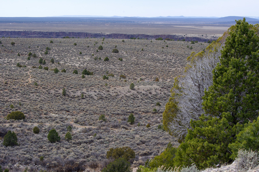
Another three-and-a-half mile fast hike brought me past this spot. Nifty, eh?
I almost get a sense of the curvature of the Earth from here. That’s the Rio Grande gorge in the background, over 800 feet to the bottom. It’s also where the tectonic plates are pulling apart, as I am fond of pointing out, with the chunk on the far side of the rift heading north.* I don’t know where we’re going on this side, probably nowhere or a little backwards, if tradition holds. When the other piece gets to Colorado, or where Colorado was, maybe it can send for us.
The wind blew so hard on the way back, it knocked me around and made me stumble on the trail. I don’t think that’s ever happened to me. Maybe I was just so far inside my head, my feet got lost. I’d settled into fresh contemplation of a new thing in my mind. It felt so good, I didn’t want to leave.
* Note: please see comments!


.png)
It’s a spreading center but not a plate boundary. Spreading is too slow to form a plate boundary… I don’t *think* the Colorado Plateau is thought to be rotating.
Try
http://geodesy.unr.edu/publications/Kreemer_et_al_GRL_2010.pdf
and
http://snobear.colorado.edu/Markw/Mountains/08/ColoradoMtns/LARAMIDE.pdf
God I love big-picture geology stuff…
Oh good, some actual info! Thank you very much. Of course, it’s much more fun to think of it as a plate boundary, so you’ve now killed my meme. 🙂
You must log in to post a comment. Log in now.